
Manatee Neighbor Records by Block
A block lookup works best when every source answers one narrow question. The county map identifies adjacent land. The assessment roll gives the recorded owner and tax-mail destination. Plats explain lot layout, while permit and code files document work or cases tied to an address. A voter file has strict limits, and a private association roster is not a public record. Together, these sources can describe a Manatee County block without claiming to name every person who lives there.
| Block source | Evidence around the address | How to obtain it |
|---|---|---|
| County Property Locator | Parcel boundaries, situs, owner/mail fields, ZIP and districts | Free map with click, shape, spatial, and buffer tools |
| Property Appraiser search | Current assessed owner, mailing address, exemptions, sales, and building facts | Free owner, address, or parcel search and export |
| Clerk plat records | Subdivision, condominium, lot, block, road, and drain layout | Online plat search, image, or courthouse request |
| Voter registration file | Permitted fields for nearby registered voters | Lawful request to Elections; protected data excluded |
| Permits and code cases | Recorded work, contacts, status, and inspections by address | Accela or the correct municipal custodian |
| Community organizations | Public officers, boundaries, events, or contact points | Published group records or state corporate filings |
An owner may live on the parcel, rent it, use it seasonally, or receive tax mail elsewhere. A homestead flag and matching mailing address can support owner occupancy, but neither supplies a household roster. That distinction is especially important on coastal and condominium blocks.
Map Manatee Neighbors Parcel by Parcel
The Manatee County Property Locator supports address or parcel search, mapped selection, point tolerance, measurement, and a buffer measured in feet. Zoom until parcel lines and address points are clear. Then click adjoining polygons or select a small shape. The county parcel service can return owner and mailing fields alongside subdivision, census, ZIP, zoning, flood, evacuation, school, and fire districts.
- Enter the target address or parcel ID and confirm the correct polygon.
- Turn on parcels, address points, subdivision, municipality, ZIP, and useful district layers.
- Click touching parcels, draw a tight shape, or create a modest buffer around the target.
- Carry each parcel ID to the Property Appraiser and compare situs, owner mail, and exemptions.
- Save the plat or permit identifiers needed for the next official search.
This process keeps the scope to the immediate block. When the question expands along an entire road, use the Manatee County street directory workflow instead. The open parcel service caps a query at 2,000 records and supports pagination, but a neighbor search rarely needs a countywide pull.
Manatee Owners Are Not Occupants
Three address concepts must stay separate. The situs address is the parcel's physical site. The owner mailing address is where the tax notice goes. The occupant is a person who actually lives there. Matching fields can support a conclusion about an owner, but differing fields do not identify a renter or prove that a house is empty.
Coastal property makes the problem easy to see. Seasonal owners may receive mail in another state. Condominium plats can divide one street address into many legal units. Lakewood Ranch properties may use Bradenton postal labels while sitting outside Bradenton city government. Longboat Key crosses the Manatee and Sarasota county line, so the parcel's county controls deeds and assessment.
Key distinction. A parcel record identifies assessed ownership, not every adult, child, guest, or other person at the site.
Nearby Manatee Permits and Cases
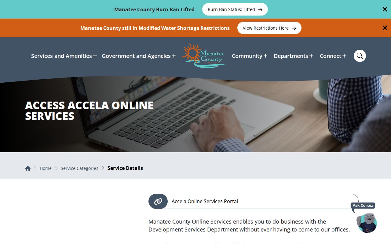
Address-based permit and code records can add work history and case status to the parcel map. County Accela separates street number, direction, street name, street type, and city. Its address match is case-sensitive, and the search dates must include the case-created date. Results may show the record detail, owner, parcel, application, processing status, and inspections.
Jurisdiction is the main trap. County Development Services chiefly serves unincorporated land, while incorporated cities keep their own permit and code files. Use the Manatee online services resource center for county access, then repeat the request with the relevant city when the map places the parcel inside municipal limits.
The county resource center shows how the address portal is reached.
Manatee Voter Data Has Limits
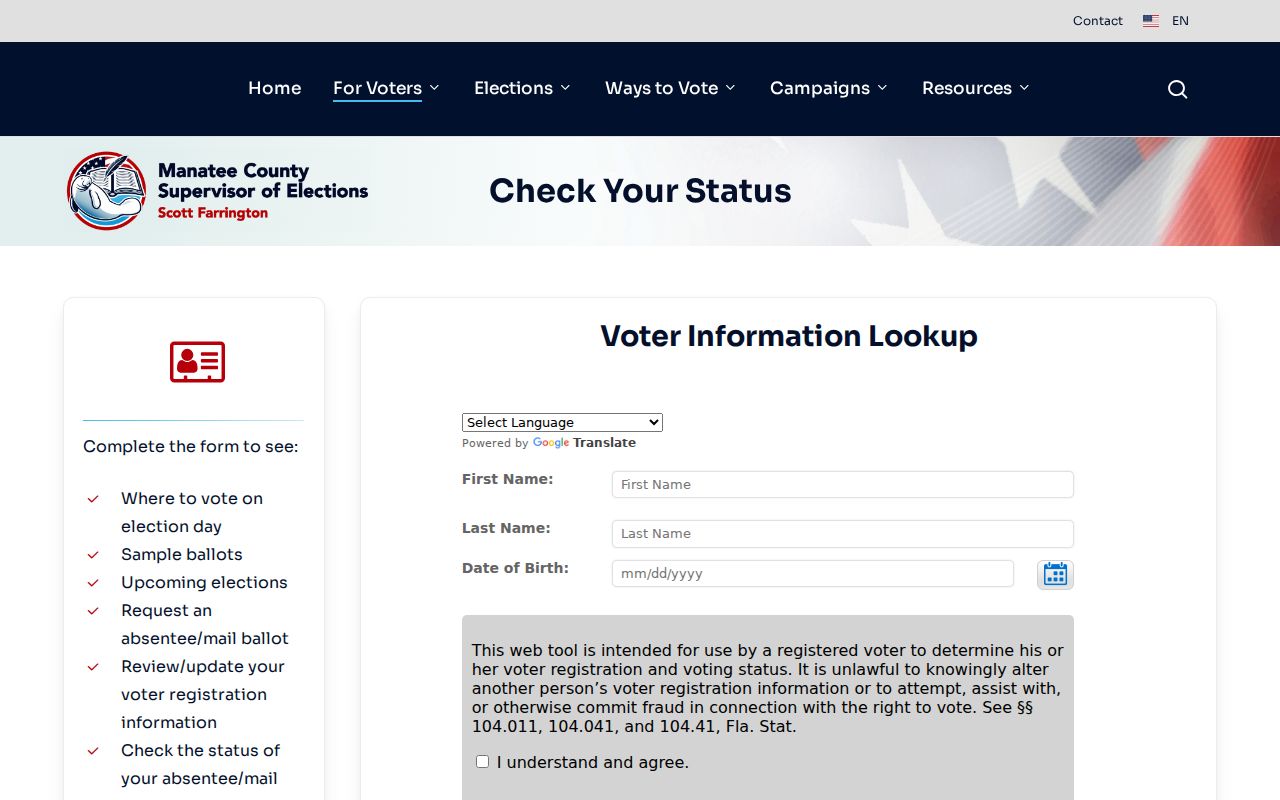
The public web lookup is designed to verify one person's own registration, not browse arbitrary neighbors by street. The Manatee Supervisor of Elections status gateway leads to a form requiring first name, last name, date of birth, agreement, and later street-number verification. It should not be scraped or described as a block directory.
A lawful file request to the Supervisor of Elections is the possible route for permitted block-level registration fields. Florida law excludes sensitive identifiers, signatures, full identifying numbers, and protected addresses. Registration status can also become inactive through list-maintenance steps; that status alone does not establish when a person moved.
The official voter-status page makes its individualized purpose clear.
Manatee Community Directory Boundaries
No verified county page inventories every neighborhood association or promises a public member directory. The community layer varies among Lakewood Ranch associations, older Bradenton and Palmetto groups, island municipalities, condominium associations, and unincorporated subdivisions. Public event calendars, boundary maps, officers, and general contact points may be useful. Private member, congregation, watch, and club rosters require consent.
| Community source | Public use | Boundary |
|---|---|---|
| Association publication | Officers, contact point, events, or map the group publishes | Do not infer that a private member roster is open |
| Sunbiz corporate filing | Legal entity, registered agent, officers, addresses, and filing history | Filed contact addresses are not automatic residences |
| County or city page | Recognized civic contact or meeting notice where posted | No complete countywide association list was verified |
| Library history collection | Past neighborhood photos, objects, yearbooks, and context | Historical affiliation is not current occupancy |
The Manatee County GIS cemeteries layer and library neighborhood histories can add local context, but they answer history questions rather than identify current neighbors.
Manatee Property Alerts Watch Names
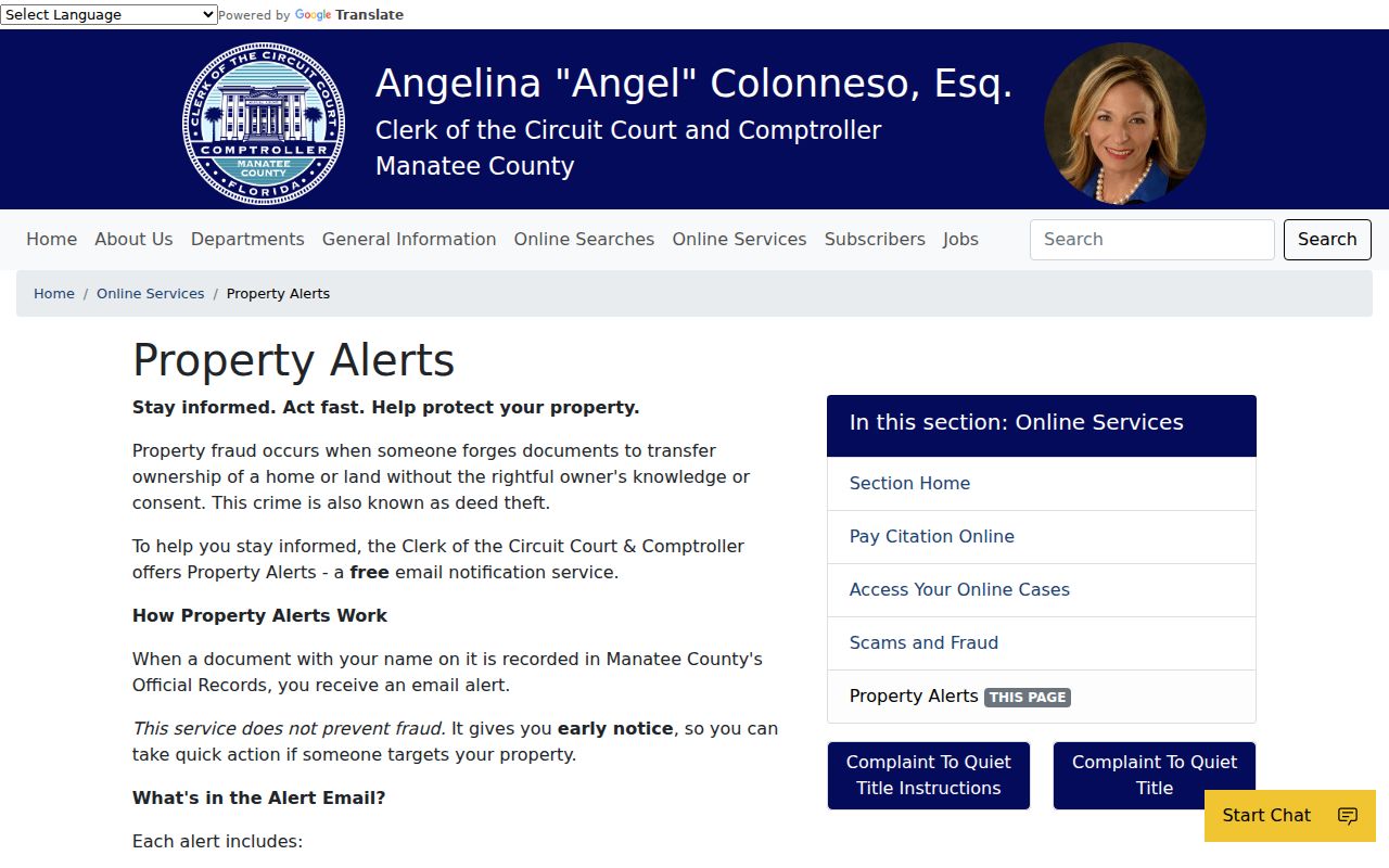
The Clerk's free Property Alerts service emails notice when a recorded document matches registered name variants. It does not watch a whole block and does not stop a filing. Registering a surname first, omitting punctuation, and adding initials or variants can improve matching, but common names can produce unrelated alerts.
This tool fits a neighbor page as a personal property-safety measure, not a way to monitor other households. A suspicious recording should be preserved by instrument number and reported promptly. Recording staff generally cannot remove an instrument without a judge's order.
The Clerk's Property Alerts instructions show the notice-only service.
Official Manatee Rolls Compare Better
Commercial neighbor tools often blend old addresses, inferred relationships, and people with similar names. They rarely explain which custodian supplied a claim or when it changed. Official sources are narrower, but their labels and limits are visible. Verify a parcel owner with the Property Appraiser, a land transfer with the Clerk, and a permit with the agency that created it.
| Source type | Strength | Main caution |
|---|---|---|
| Official parcel and GIS rolls | Current land identity, assessed owner, and mapped boundary | Not an occupant list |
| Clerk and agency records | Traceable instrument, case, plat, or permit | Access limits and posting delays can apply |
| Commercial compiled results | May suggest a lead across many datasets | Stale addresses and merged identities require official confirmation |
Privacy Limits for Manatee Neighbors
Public land data does not reveal renters, every household member, undocumented guests, utility customers, or protected DMV details. Florida's Address Confidentiality Program supplies a substitute address and mail forwarding for qualifying victims. Other statutes protect specified occupations, voter fields, recent vital certificates, sealed cases, and confidential family or probate material. A protected absence is not a gap to work around.
Corrections belong with the source custodian. A parcel owner can ask the Property Appraiser about its process, and a recorded-document issue belongs with the Clerk. Commercial removal does not erase a lawful government record.
Lawful use. Use neighbor records for civic curiosity, reconnecting, and personal safety. Florida law forbids stalking, cyberstalking, threats, harassment, and attempts to defeat protected-address safeguards.